
From model to
finished print
How it works
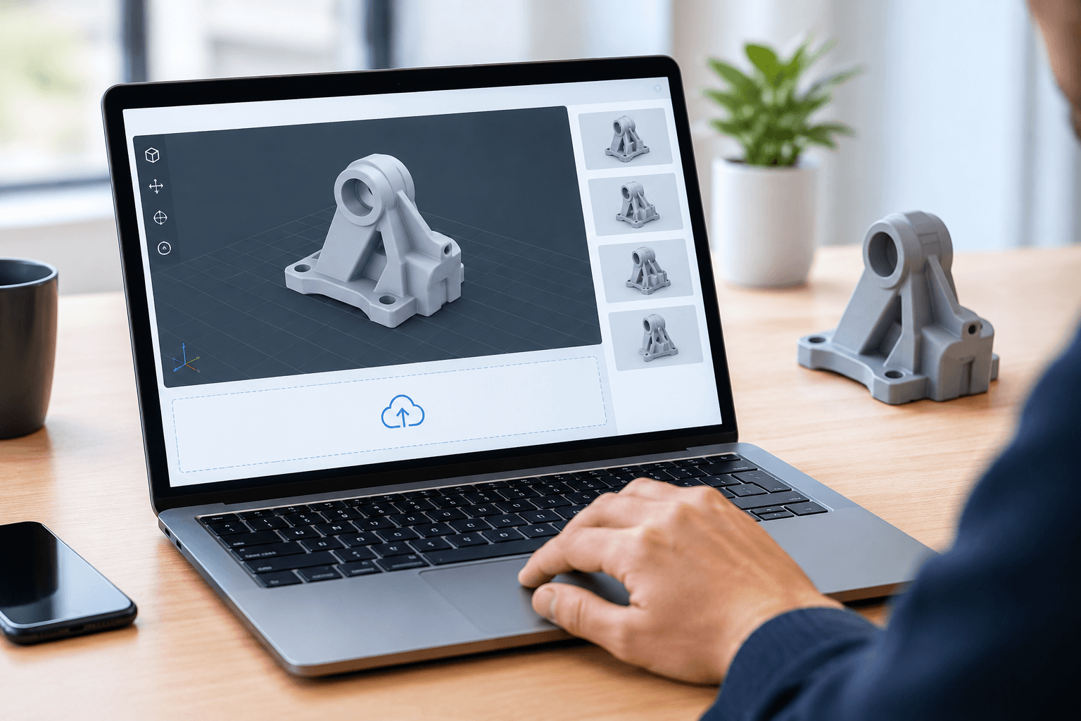
Step 01
Upload your model
Drop in an STL, OBJ or 3MF file. We check the mesh is watertight and within size limits before you go any further.
Step 02
Choose material & finish
Pick PLA, PETG, ABS, TPU or resin, then set layer height, infill and colour. Every option updates the price as you go.
Step 03
Review the quote
See the exact price, print time and delivery estimate up front — itemised by material, machine time and finishing.
Step 04
Print & deliver
We print, quality-check and pack your parts, with tracking from our workshop to your door.
Bring an idea. Leave with a printed part.

Describe the part, upload sketches or reference photos, and set your target size, material and budget.
Start a briefA 3DPrintingWala designer turns your brief into a print-ready CAD model, sharing revisions until it's right.
Approve the final model and we print, finish and ship it — with the source files handed back to you.
Popular ready-made designs
A sample of the catalog — every model tuned for a clean first print.
Why print with 3DPrintingWala?
Real materials, honest pricing, and checks that catch problems before they cost you a print.
Transparent per-print pricing
The price shown when you upload is the price you pay. Material, machine time and finishing are each broken out.
Print-ready checks
Automatic mesh validation flags non-manifold edges, thin walls and holes before they waste a print.
A real material range
PLA, PETG, ABS, TPU and standard or tough resin, in a range of colours and finishes — prototype to functional part.
Your files stay yours
Uploads are private by default. You decide whether a model is public, unlisted, or never leaves your account.
Built for iteration
Re-order a tweaked version in a couple of clicks. Your model history and past print settings are kept.
Made by makers
Orientation, supports, tolerances and finishing handled by people who run these machines every day.
Why makers keep printing with us
“The quote breakdown ended the back-and-forth with vendors. I upload the STL, see the price and lead time, and approve it — done in a minute.”
“We iterate enclosures every week. Re-ordering a revised part with the same settings takes seconds, and the mesh check catches my mistakes before they cost a print.”
“PETG parts came back dimensionally spot on. Tolerances held where other shops needed three attempts to get it right.”
“Ordered forty resin props on a Friday and had them the following Wednesday, with tracking the whole way. No chasing, no surprises.”
“The print-ready validation flagged thin walls I'd have missed. It saved me a wasted batch of TPU mounts.”
“My models stay private and I still get a fast turnaround. The finish on the cast-ready resin is exactly what I need.”
Priced before you commit.
Every quote shows the material cost, print time and finishing as separate lines. No minimum tiers, no surprise charges — approve the order only when the number works for you.
Get a quoteYour models, kept private.
Uploads are encrypted in transit and at rest, and private by default. Nothing is listed publicly unless you choose to share it, and you can export or delete any file from your account whenever you want.
Read our file policy- Private by default — public, unlisted or account-only, your call
- Encrypted in transit and at rest
- Used only to produce your order
- Export or delete any model at any time
Questions, answered.
STL, OBJ and 3MF today. Each file is checked for watertight geometry and a sensible size before you get a quote.
From material weight, print time, machine wear and any finishing you select. The full breakdown is shown with every quote — there are no hidden tiers.
PLA, PETG, ABS and TPU on FDM machines, plus standard and tough resins for SLA. Colour and finish options vary by material and are shown at quote time.
Most orders ship within 3–5 working days. Your quote shows an estimate based on the current queue and the part itself.
You do. We only use your files to produce your order, and you can delete them from your account at any time.
Yes. Every model keeps its version history and print settings, so re-ordering a revision takes a couple of clicks.
Ready to print?
Upload your first model and get a quote in minutes. No subscription, no minimum order.
Create your account